| Alabama | South | 67 | counties | Baldwin County · 1,589.9 sq mi |
| Alaska | West | 30 | boroughs and census areas | Yukon-Koyukuk Census Area · 145,767.5 sq mi |
| Arizona | West | 15 | counties | Coconino County · 18,616.4 sq mi |
| Arkansas | South | 75 | counties | Union County · 1,039.1 sq mi |
| California | West | 58 | counties | San Bernardino County · 20,068.4 sq mi |
| Colorado | West | 64 | counties | Las Animas County · 4,772.9 sq mi |
| Connecticut | Northeast | 9 | planning regions | Capitol Planning Region · 1,027.4 sq mi |
| Delaware | South | 3 | counties | Sussex County · 936.1 sq mi |
| District of Columbia | South | 1 | county-equivalent | District of Columbia · 61.1 sq mi |
| Florida | South | 67 | counties | Collier County · 1,997 sq mi |
| Georgia | South | 159 | counties | Ware County · 899.4 sq mi |
| Hawaii | West | 5 | counties | Hawaii County · 4,028.4 sq mi |
| Idaho | West | 44 | counties | Idaho County · 8,477.5 sq mi |
| Illinois | Midwest | 102 | counties | McLean County · 1,183.2 sq mi |
| Indiana | Midwest | 92 | counties | Allen County · 657.1 sq mi |
| Iowa | Midwest | 99 | counties | Kossuth County · 972.7 sq mi |
| Kansas | Midwest | 105 | counties | Butler County · 1,429.7 sq mi |
| Kentucky | South | 120 | counties | Pike County · 786.2 sq mi |
| Louisiana | South | 64 | parishes | Vernon Parish · 1,326.7 sq mi |
| Maine | Northeast | 16 | counties | Aroostook County · 6,671.2 sq mi |
| Maryland | South | 24 | counties and an independent city | Frederick County · 660.6 sq mi |
| Massachusetts | Northeast | 14 | counties | Worcester County · 1,510.7 sq mi |
| Michigan | Midwest | 83 | counties | Marquette County · 1,809.1 sq mi |
| Minnesota | Midwest | 87 | counties | St. Louis County · 6,248.1 sq mi |
| Mississippi | South | 82 | counties | Yazoo County · 922.3 sq mi |
| Missouri | Midwest | 115 | counties and an independent city | Texas County · 1,177.3 sq mi |
| Montana | West | 56 | counties | Beaverhead County · 5,542.7 sq mi |
| Nebraska | Midwest | 93 | counties | Cherry County · 5,960.1 sq mi |
| Nevada | West | 17 | counties and an independent city | Nye County · 18,181.9 sq mi |
| New Hampshire | Northeast | 10 | counties | Coos County · 1,794.6 sq mi |
| New Jersey | Northeast | 21 | counties | Burlington County · 799.3 sq mi |
| New Mexico | West | 33 | counties | Catron County · 6,924.2 sq mi |
| New York | Northeast | 62 | counties | St. Lawrence County · 2,679.5 sq mi |
| North Carolina | South | 100 | counties | Robeson County · 947.3 sq mi |
| North Dakota | Midwest | 53 | counties | McKenzie County · 2,760.1 sq mi |
| Ohio | Midwest | 88 | counties | Ashtabula County · 702.4 sq mi |
| Oklahoma | South | 77 | counties | Osage County · 2,246.7 sq mi |
| Oregon | West | 36 | counties | Harney County · 10,134.5 sq mi |
| Pennsylvania | Northeast | 67 | counties | Lycoming County · 1,228.9 sq mi |
| Rhode Island | Northeast | 5 | counties | Providence County · 409.5 sq mi |
| South Carolina | South | 46 | counties | Horry County · 1,133.2 sq mi |
| South Dakota | Midwest | 66 | counties | Meade County · 3,470.9 sq mi |
| Tennessee | South | 95 | counties | Shelby County · 752.8 sq mi |
| Texas | South | 254 | counties | Brewster County · 6,183.8 sq mi |
| Utah | West | 29 | counties | San Juan County · 7,823.7 sq mi |
| Vermont | Northeast | 14 | counties | Windsor County · 969.1 sq mi |
| Virginia | South | 133 | counties and independent cities | Pittsylvania County · 969 sq mi |
| Washington | West | 39 | counties | Okanogan County · 5,266.2 sq mi |
| West Virginia | South | 55 | counties | Randolph County · 1,039.7 sq mi |
| Wisconsin | Midwest | 72 | counties | Marathon County · 1,545.2 sq mi |
| Wyoming | West | 23 | counties | Sweetwater County · 10,427 sq mi |

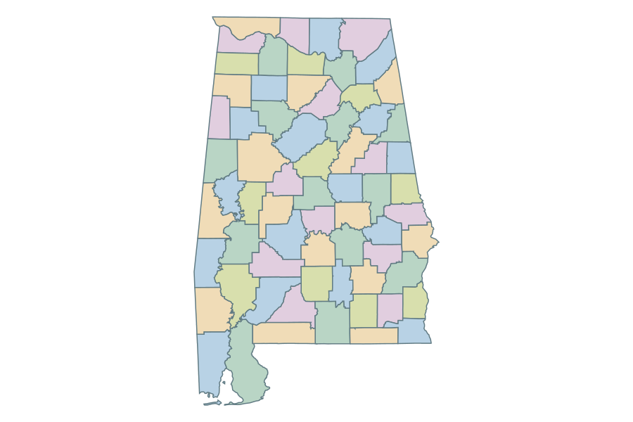 Alabama
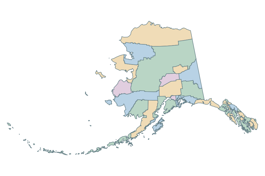 Alaska
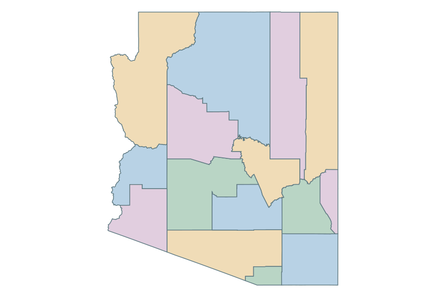 Arizona
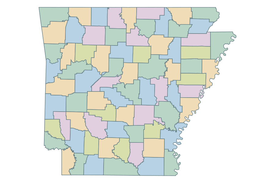 Arkansas
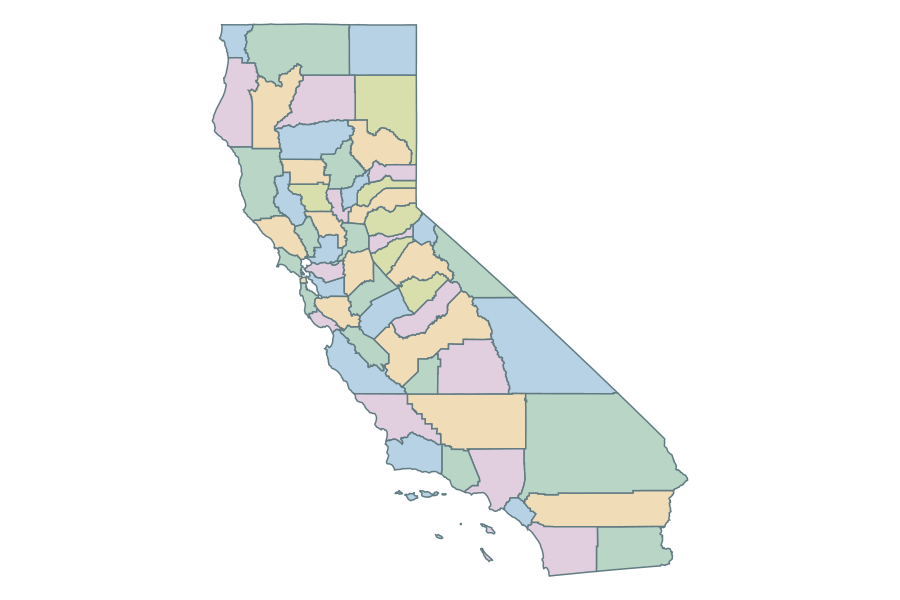 California
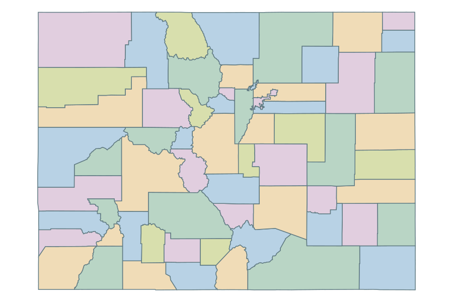 Colorado
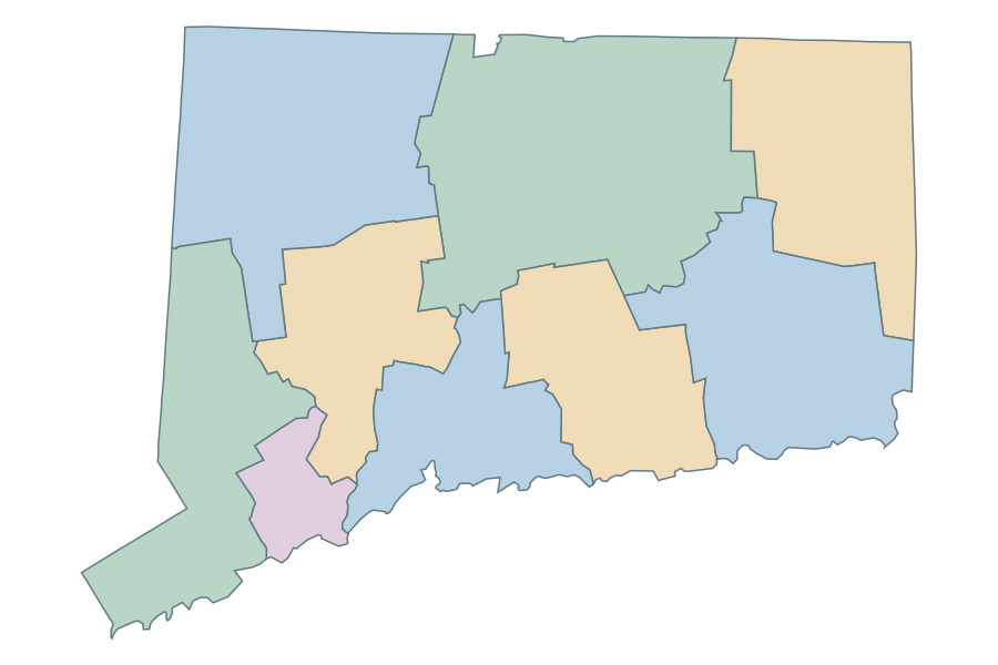 Connecticut
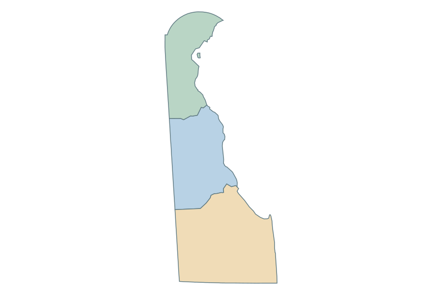 Delaware
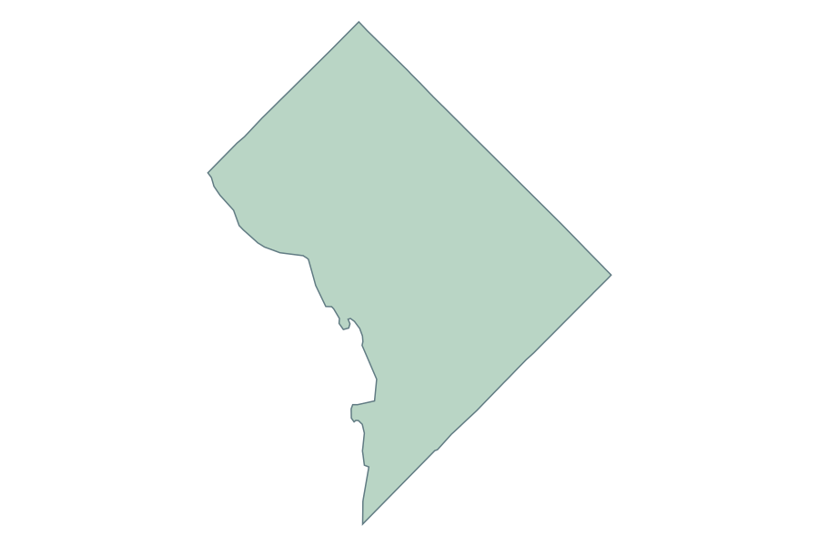 District of Columbia
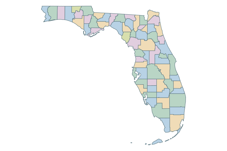 Florida
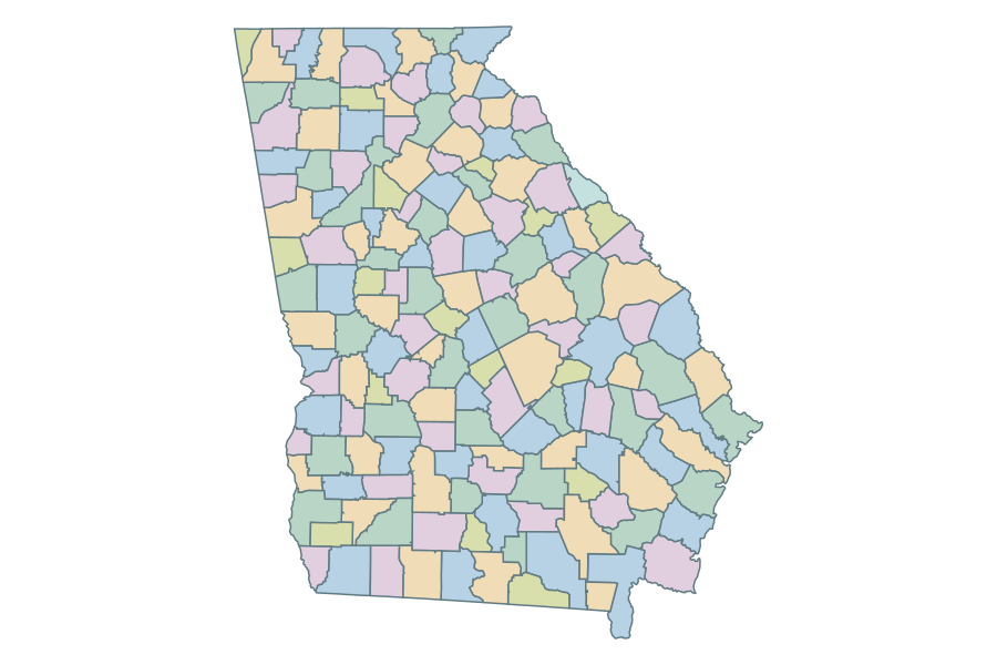 Georgia
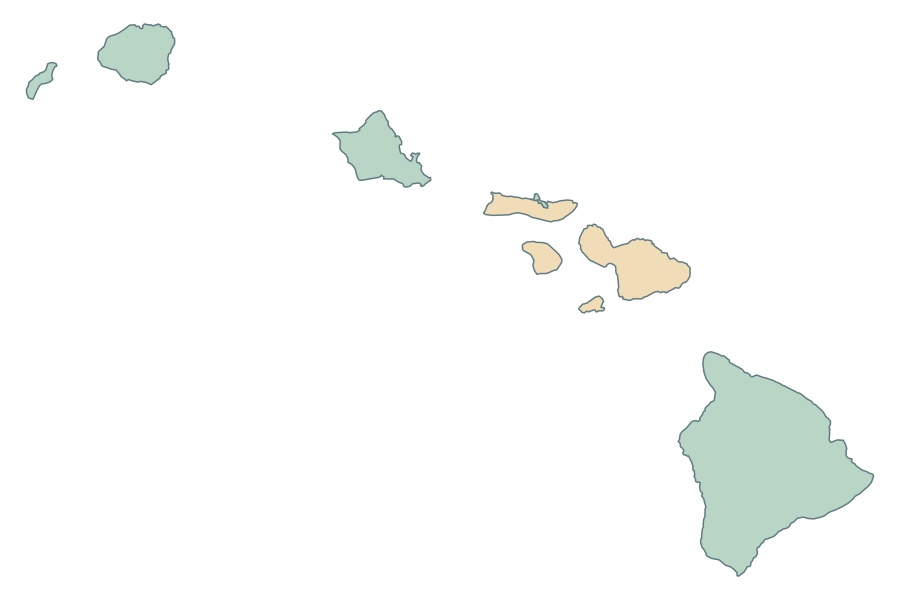 Hawaii
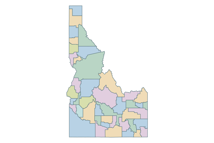 Idaho
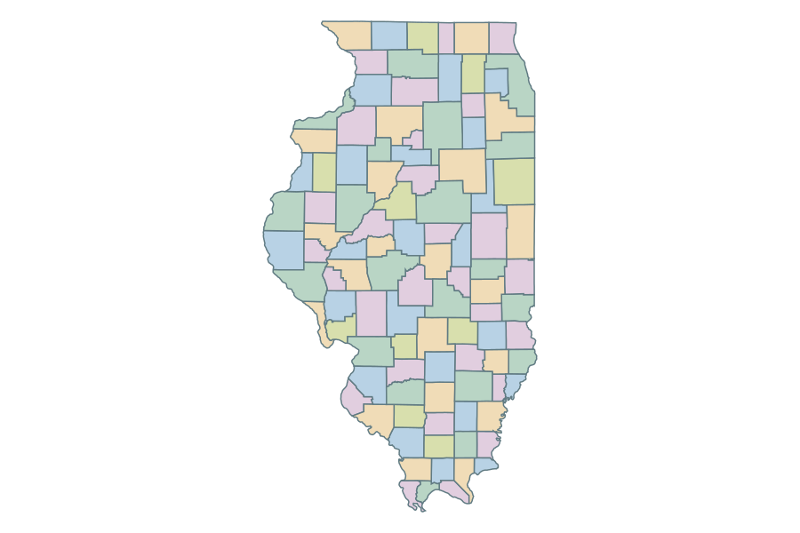 Illinois
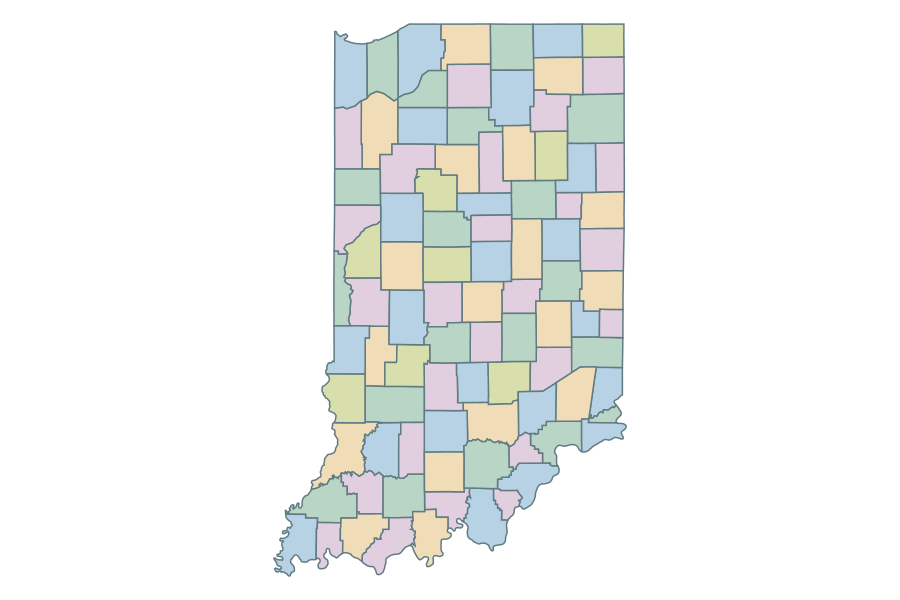 Indiana
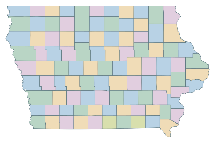 Iowa
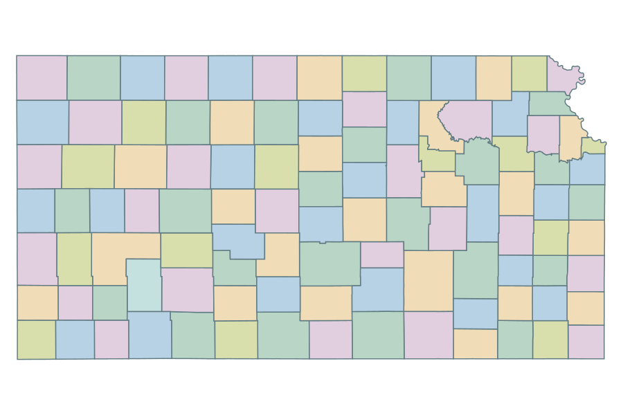 Kansas
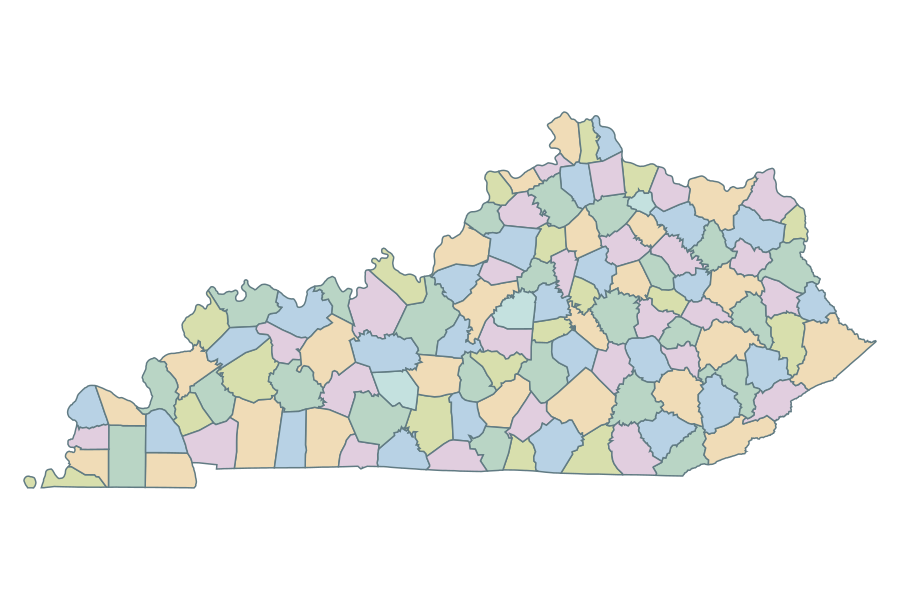 Kentucky
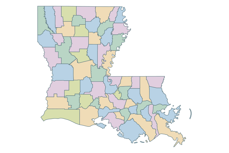 Louisiana
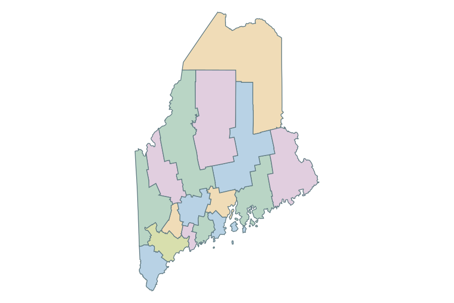 Maine
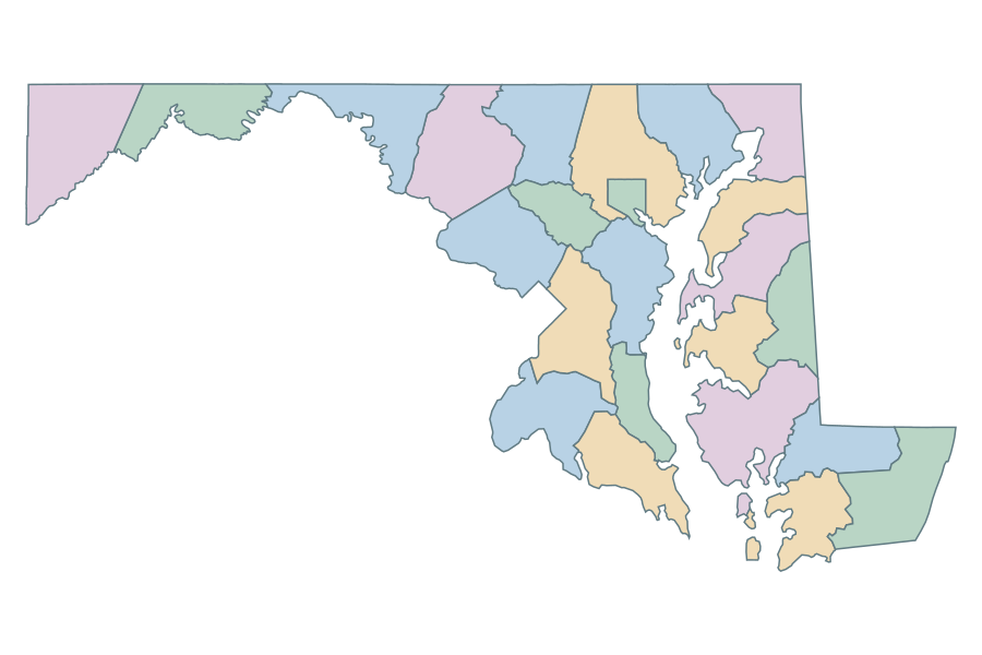 Maryland
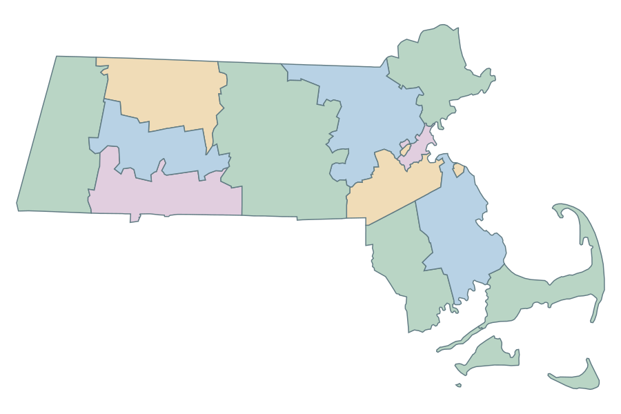 Massachusetts
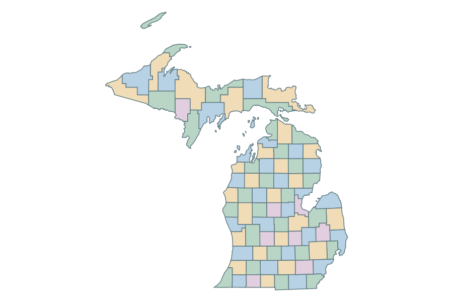 Michigan
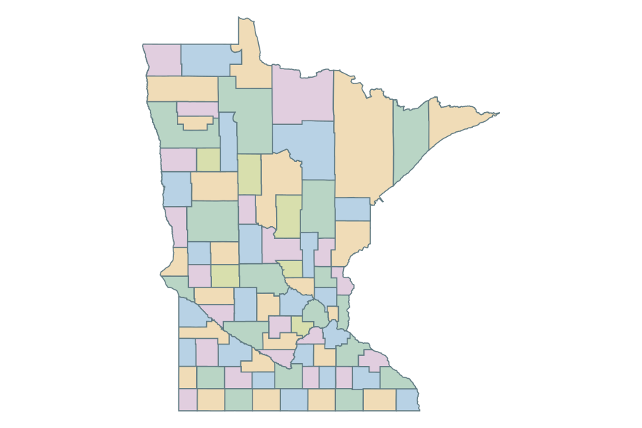 Minnesota
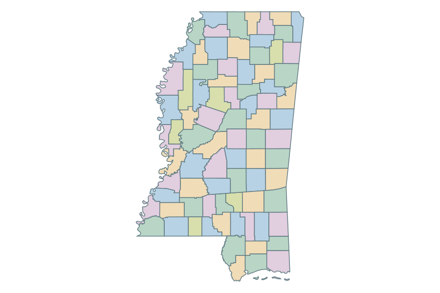 Mississippi
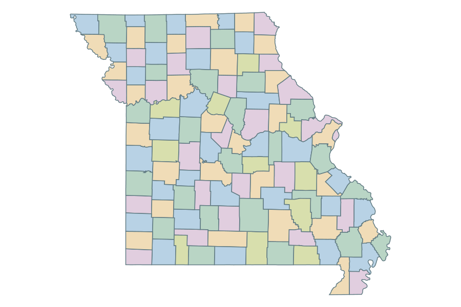 Missouri
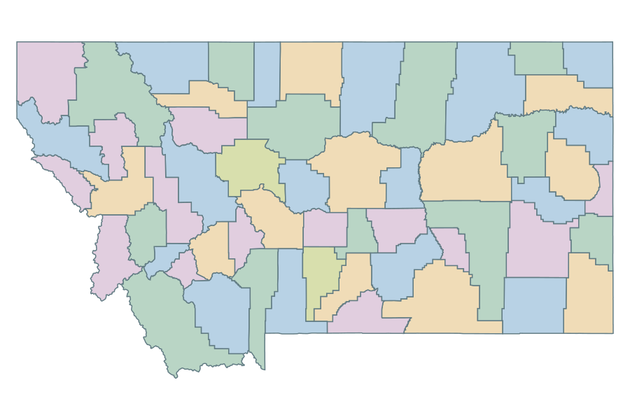 Montana
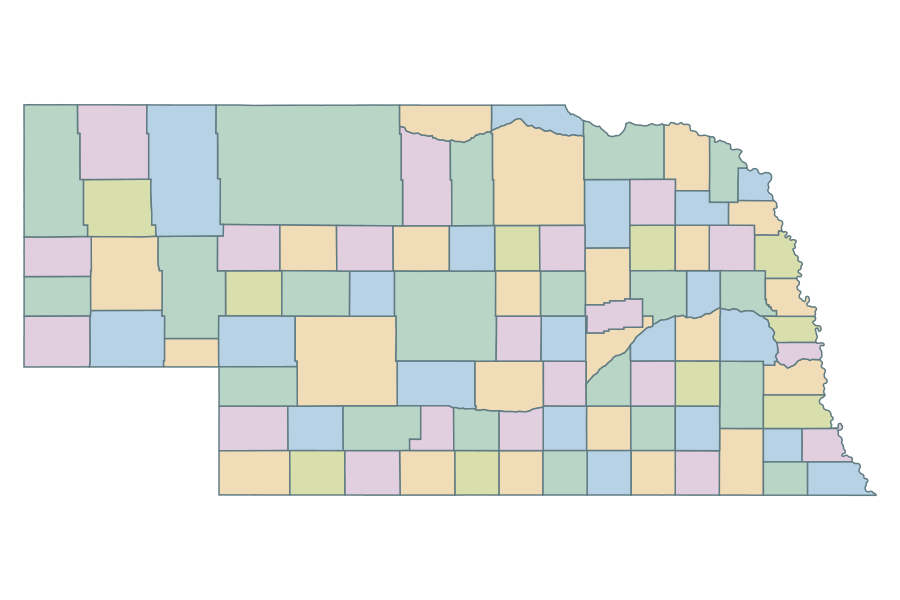 Nebraska
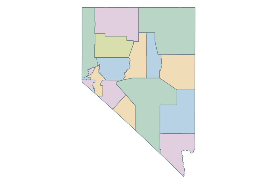 Nevada
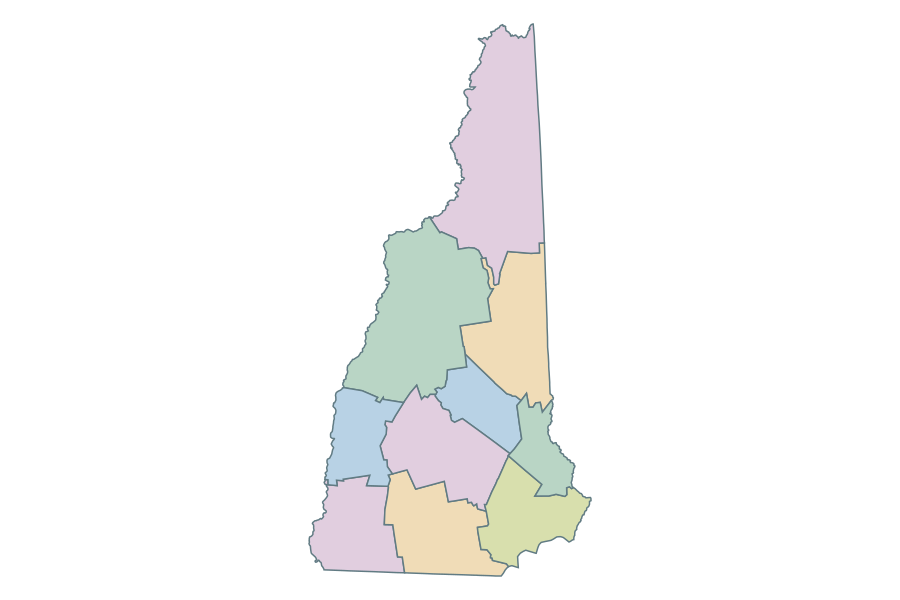 New Hampshire
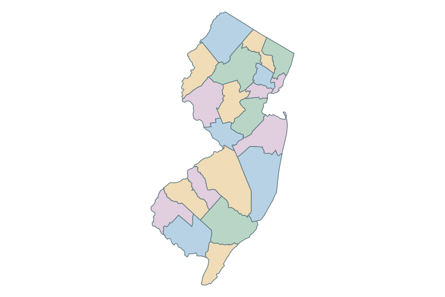 New Jersey
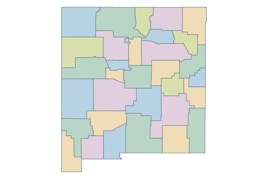 New Mexico
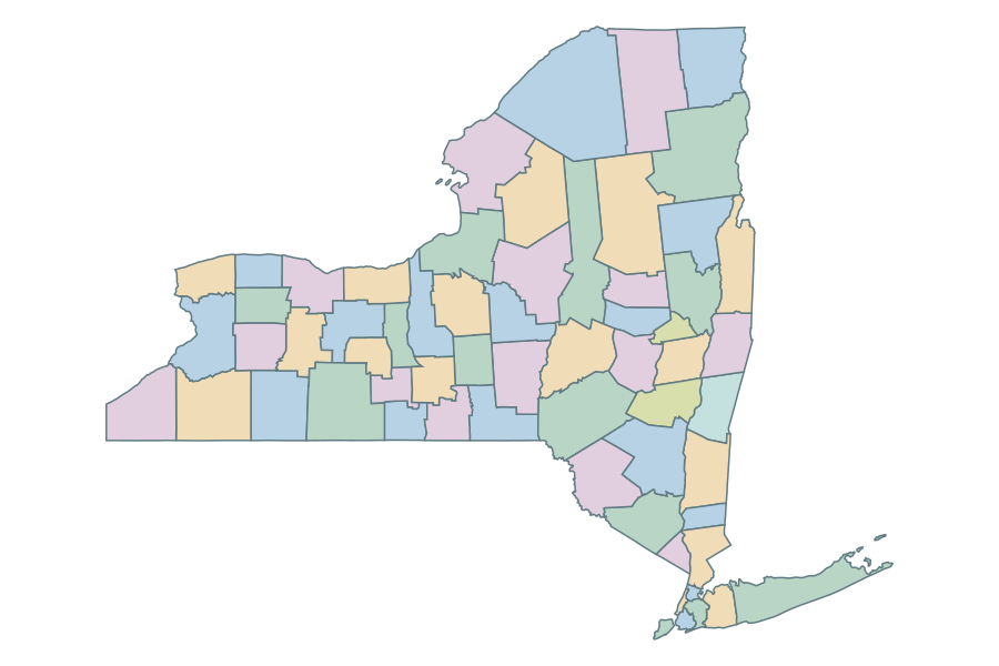 New York
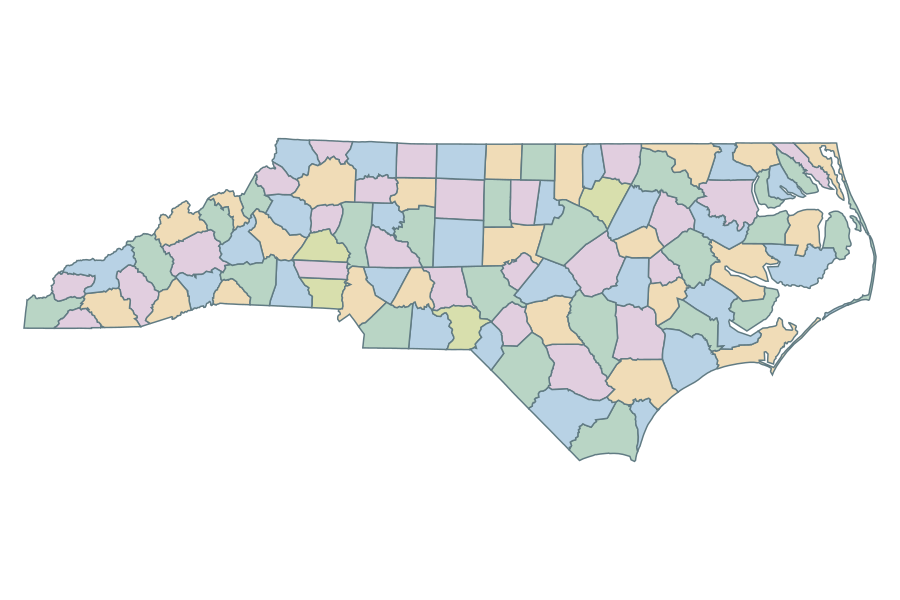 North Carolina
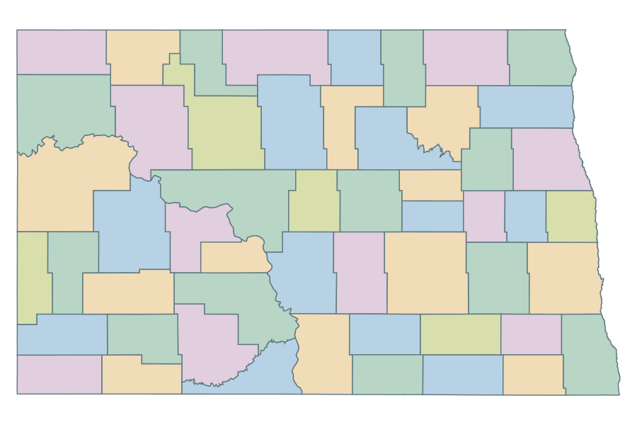 North Dakota
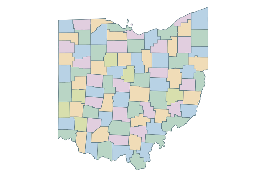 Ohio
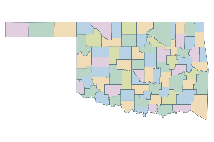 Oklahoma
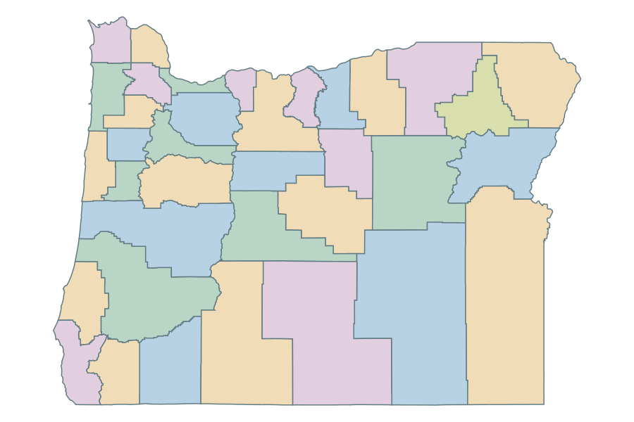 Oregon
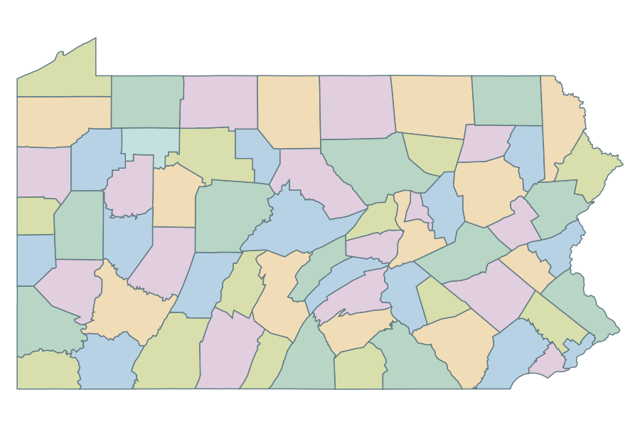 Pennsylvania
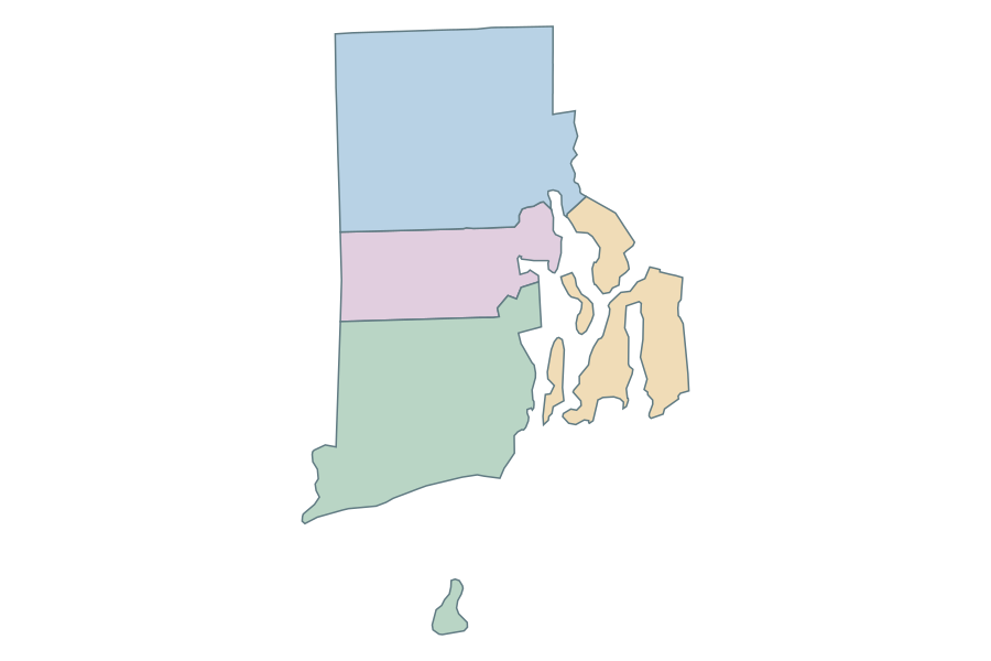 Rhode Island
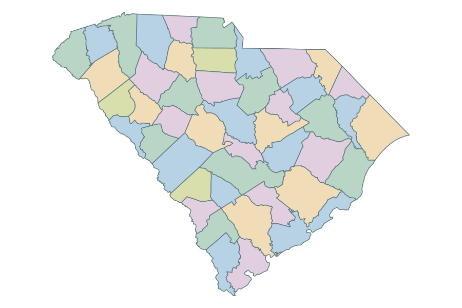 South Carolina
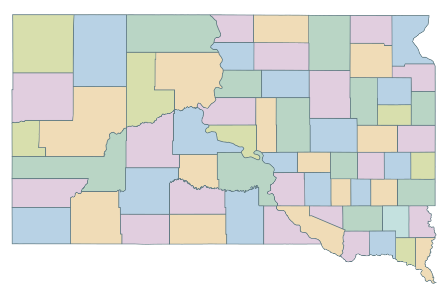 South Dakota
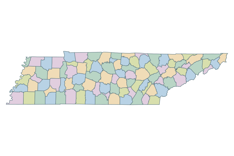 Tennessee
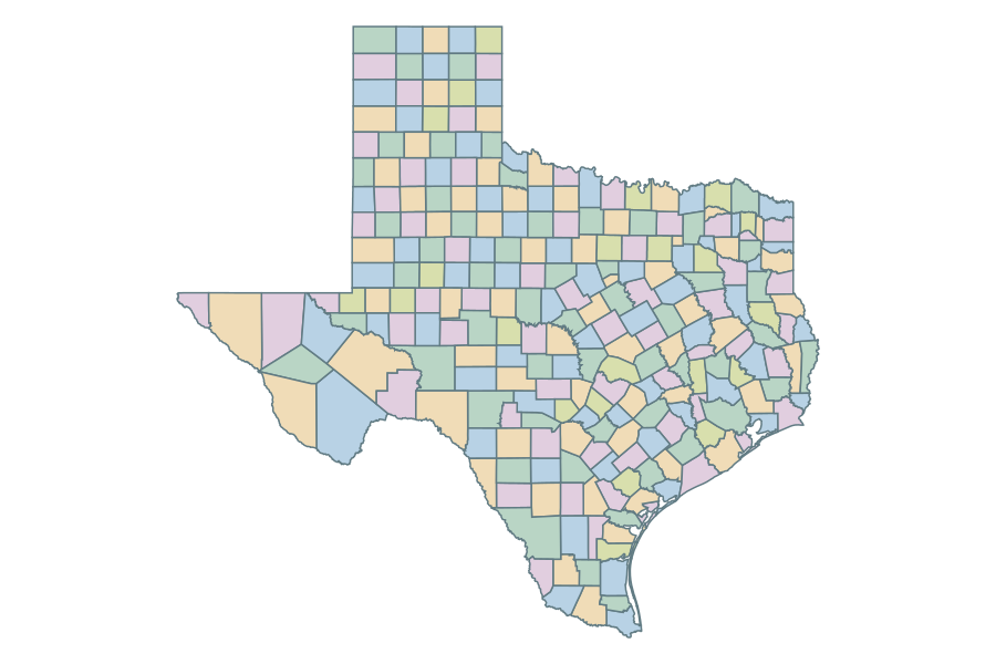 Texas
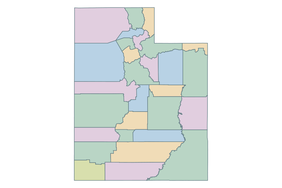 Utah
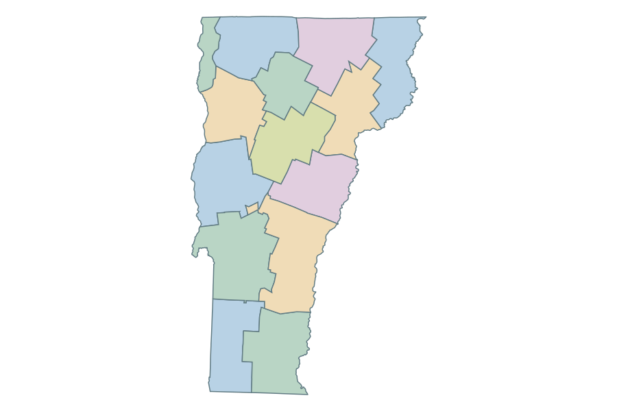 Vermont
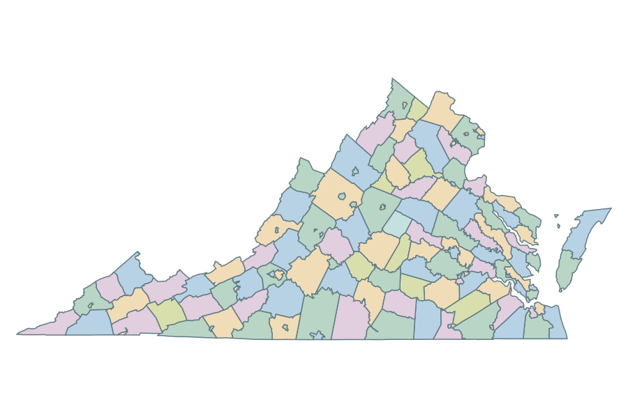 Virginia
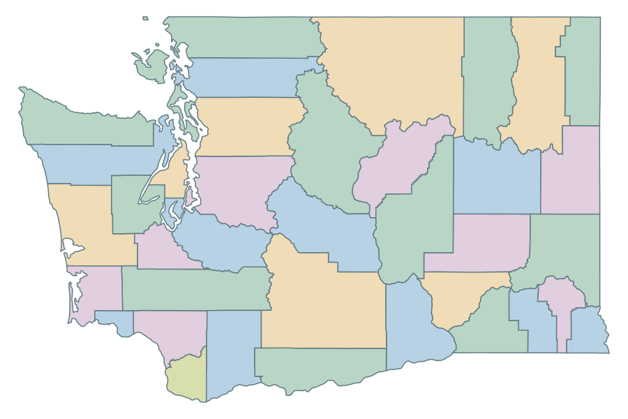 Washington
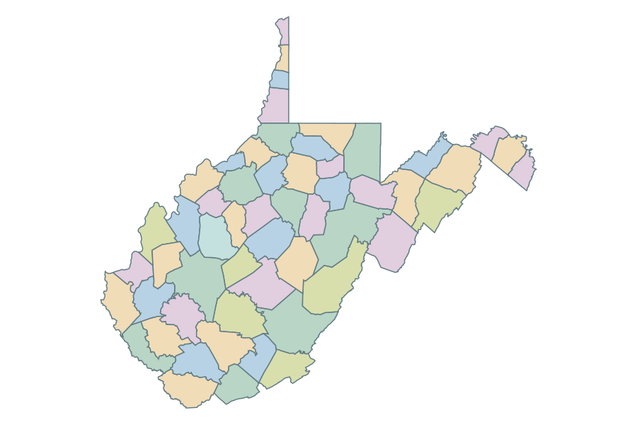 West Virginia
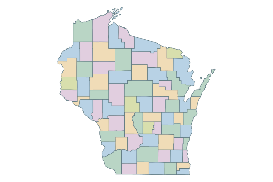 Wisconsin
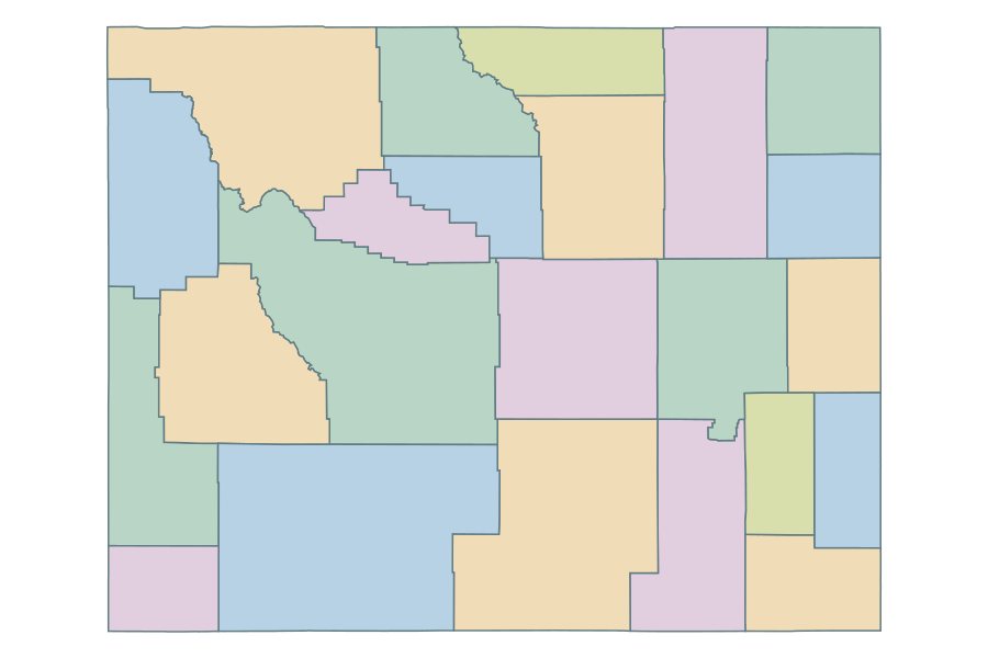 Wyoming