
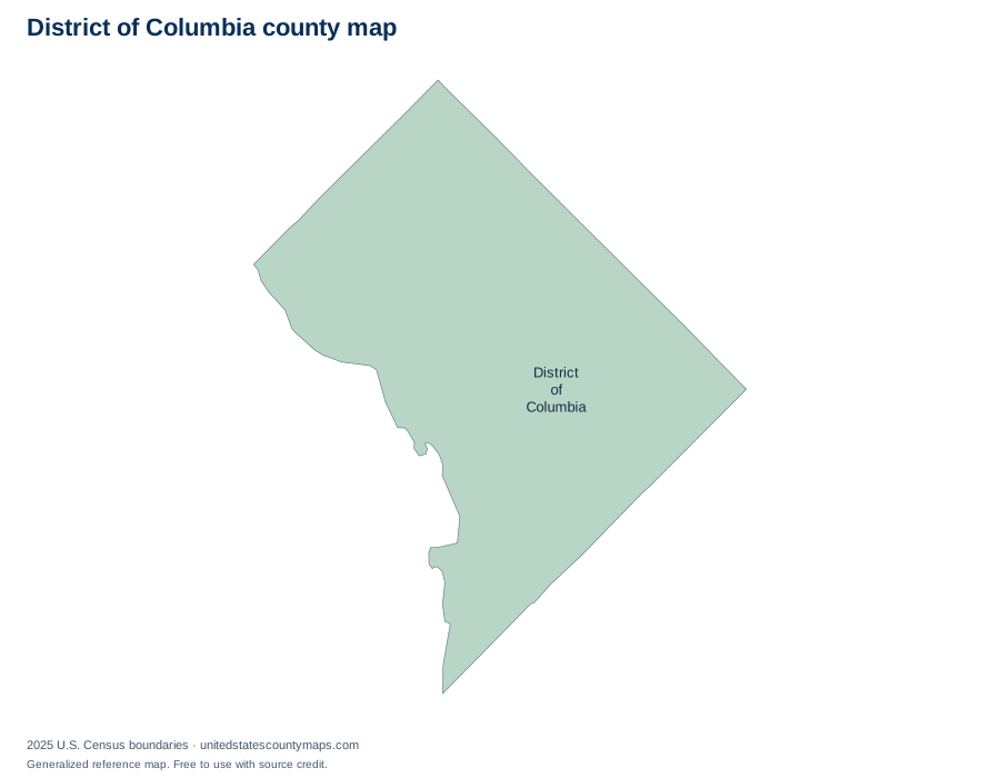
District of Columbia county geography overview
The District of Columbia is one county-equivalent for Census statistics rather than a state divided into multiple counties. Its mapped area contains about 61.1 square miles of land and 7.2 square miles of water.
Alphabetical list of District of Columbia county-equivalent
The table is alphabetical, so it works as a name and FIPS-code reference rather than an area ranking. Every identifier begins with the District of Columbia state FIPS prefix 11. Land and water figures are rounded to one decimal place.
1 county-level areas
Download county data / numbered map key (CSV)| No. | Name | FIPS code | Land area | Water area |
|---|---|---|---|---|
| 1 | District of Columbia | 11001 | 61.1 sq mi | 7.2 sq mi |
How to read and use this map
County lines are administrative boundaries, not postal routes. A mailing address can use a city name associated with a neighboring area, and ZIP codes can cross county lines. When you need to identify a county for an address, confirm it with an official geocoder or local government source.
For classroom or planning use, download a PDF from the controls above. Labelled exports use numbered callouts for crowded areas; numbered quiz maps match the alphabetical county list. SVG files keep the boundary lines sharp at larger paper sizes.
Frequently asked questions
Is Washington, D.C. a county?
Washington, D.C. is not a county, but the Census Bureau treats the District as one county-equivalent for national statistical geography.
Can I print this District of Columbia county map?
Yes. Choose Download / print and select PDF for a landscape Letter page, PNG for an image, or SVG for editable vector artwork. Because the map is SVG, its boundary lines stay sharp when scaled.
What is the largest county-level area in District of Columbia?
District of Columbia is the largest by land area in this dataset at 61.1 square miles. This is an area ranking, not a population ranking.
Are these legal survey boundaries?
No. This is a generalized reference map. Property, parcel, election, and legal boundary questions should be checked with the relevant state or local agency.
Map source
U.S. Census Bureau, 2025 Cartographic Boundary File, Counties, 1:5,000,000. Land and water area fields are supplied in the same file and converted from square meters to square miles. Accessed September 27, 2026.